


Title and statement of responsibility area
Titel
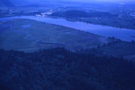
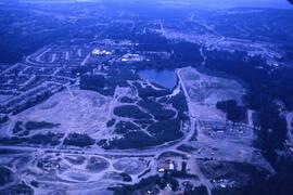
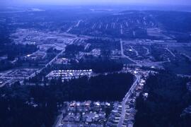
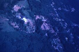
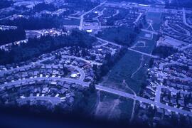
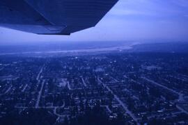
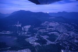
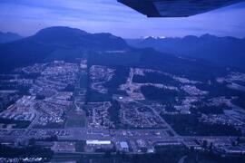
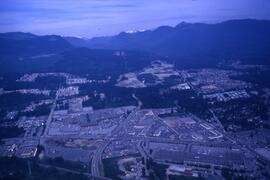
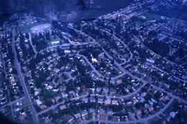
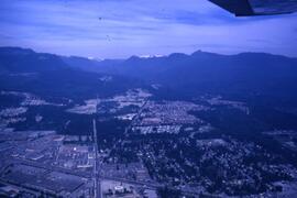
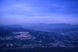
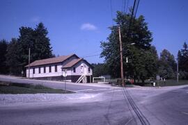
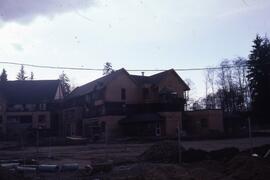
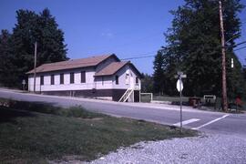
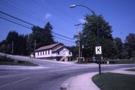
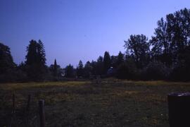
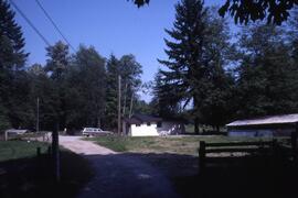
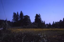
Aerial and Development Photographs
Algemene aanduiding van het materiaal
- Grafisch materiaal
Parallelle titel
Overige titelinformatie
Title statements of responsibility
Titel aantekeningen
Beschrijvingsniveau
Bestanddeel
archiefbewaarplaats
referentie code
CA CCOQ F17-S13-F04
Editie
Editie
Edition statement of responsibility
Class of material specific details area
Statement of scale (cartographic)
Statement of projection (cartographic)
Statement of coordinates (cartographic)
Statement of scale (architectural)
Issuing jurisdiction and denomination (philatelic)
Datering archiefvorming
Datum(s)
-
1987 (Vervaardig)
Fysieke beschrijving
Fysieke beschrijving
49 photographs : col. slides
Publisher's series area
Title proper of publisher's series
Parallel titles of publisher's series
Other title information of publisher's series
Statement of responsibility relating to publisher's series
Numbering within publisher's series
Note on publisher's series
Archivistische beschrijving
Naam van de archiefvormer
Geschiedenis beheer
Bereik en inhoud
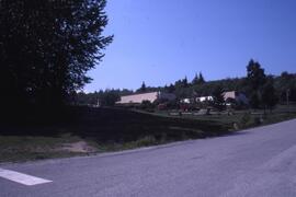
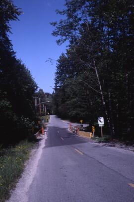
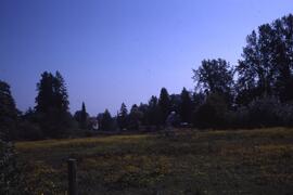
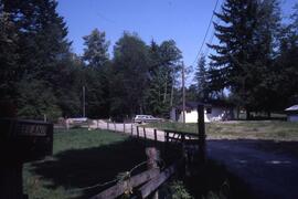
The file consists of aerial photographs as well as photographs of housing developments.