


Title and statement of responsibility area
Title proper
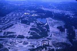
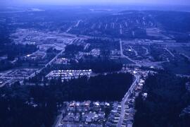
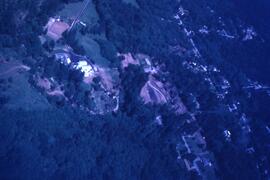
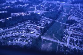
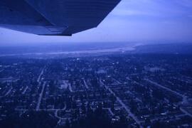
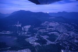
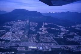
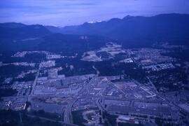
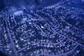
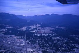
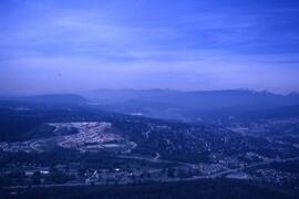
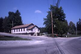
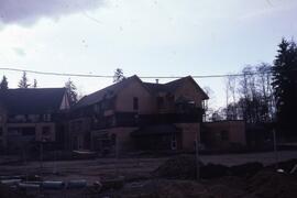
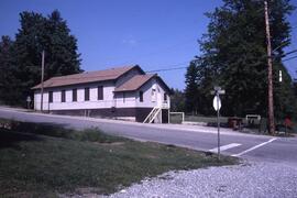
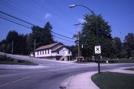
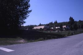
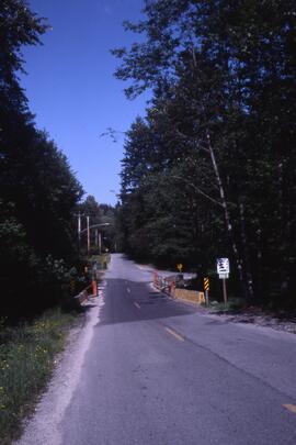
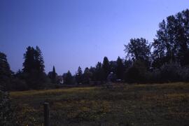
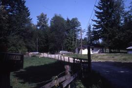
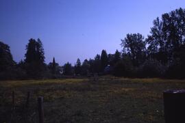
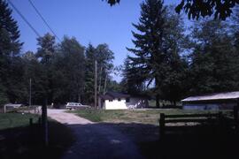
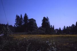
Aerial and Development Photographs
General material designation
- Graphic material
Parallel title
Other title information
Title statements of responsibility
Title notes
Level of description
File
Repository
Reference code
CA CCOQ F17-S13-F04
Edition area
Edition statement
Edition statement of responsibility
Class of material specific details area
Statement of scale (cartographic)
Statement of projection (cartographic)
Statement of coordinates (cartographic)
Statement of scale (architectural)
Issuing jurisdiction and denomination (philatelic)
Dates of creation area
Date(s)
-
1987 (Creation)
Physical description area
Physical description
49 photographs : col. slides
Publisher's series area
Title proper of publisher's series
Parallel titles of publisher's series
Other title information of publisher's series
Statement of responsibility relating to publisher's series
Numbering within publisher's series
Note on publisher's series
Archival description area
Name of creator
Custodial history
Scope and content
The file consists of aerial photographs as well as photographs of housing developments.