


Title and statement of responsibility area
Titel
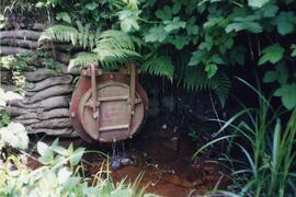
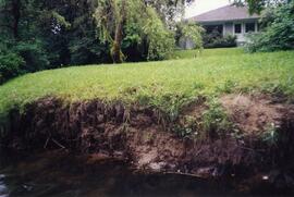
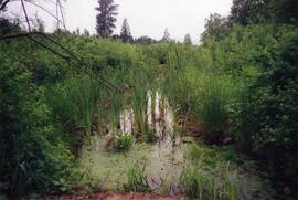
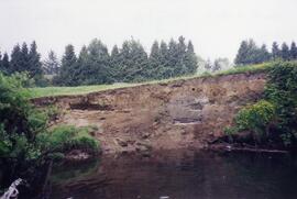
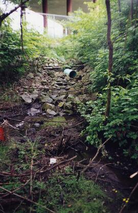
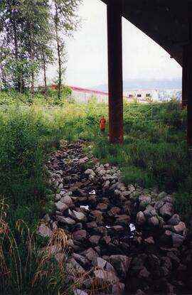
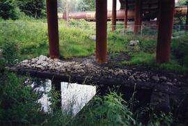
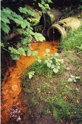
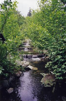
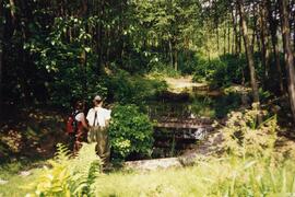
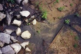
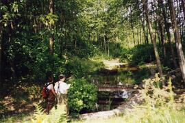
Photographs - Planning Department Photographs of Scott Creek
Algemene aanduiding van het materiaal
- Grafisch materiaal
Parallelle titel
Overige titelinformatie
Title statements of responsibility
Titel aantekeningen
Beschrijvingsniveau
Reeks
referentie code
F-17-S54
Editie
Editie
Edition statement of responsibility
Class of material specific details area
Statement of scale (cartographic)
Statement of projection (cartographic)
Statement of coordinates (cartographic)
Statement of scale (architectural)
Issuing jurisdiction and denomination (philatelic)
Datering archiefvorming
Datum(s)
-
June 1999 (Vervaardig)
Fysieke beschrijving
Fysieke beschrijving
21 photographs : col. ; various dimensions
Publisher's series area
Title proper of publisher's series
Parallel titles of publisher's series
Other title information of publisher's series
Statement of responsibility relating to publisher's series
Numbering within publisher's series
Note on publisher's series
Archivistische beschrijving
Naam van de archiefvormer
(1992–)
Geschiedenis beheer
Bereik en inhoud
The series consists of photographs of Scott Creek taken by the Planning Department for research and planning purposes.