


Title and statement of responsibility area
Title proper
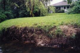
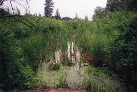
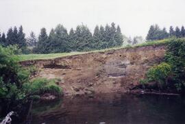
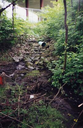
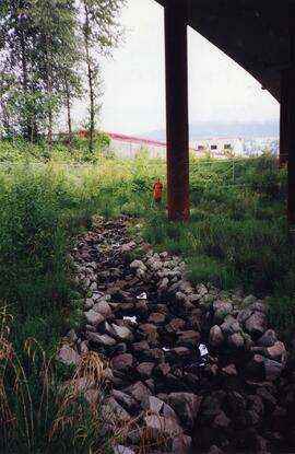
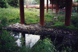
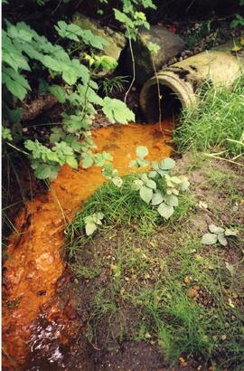
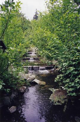
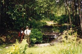
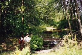
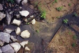
Photographs - Planning Department Photographs of Scott Creek
General material designation
Graphic material
Parallel title
Other title information
Title statements of responsibility
Title notes
Level of description
Series
Reference code
F17-S54
Edition area
Edition statement
Edition statement of responsibility
Class of material specific details area
Statement of scale (cartographic)
Statement of projection (cartographic)
Statement of coordinates (cartographic)
Statement of scale (architectural)
Issuing jurisdiction and denomination (philatelic)
Dates of creation area
Date(s)
-
June 1999 (Creation)
Physical description area
Physical description
21 photographs : col. ; various dimensions
Publisher's series area
Title proper of publisher's series
Parallel titles of publisher's series
Other title information of publisher's series
Statement of responsibility relating to publisher's series
Numbering within publisher's series
Note on publisher's series
Archival description area
Name of creator
(1992–)
Custodial history
Scope and content
The series consists of photographs of Scott Creek taken by the Planning Department for research and planning purposes.