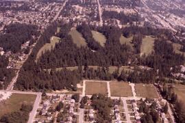
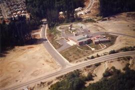
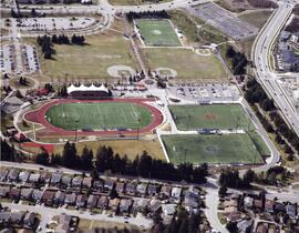
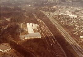
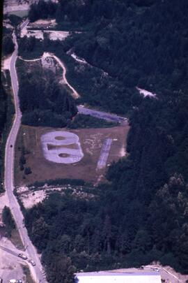
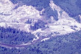
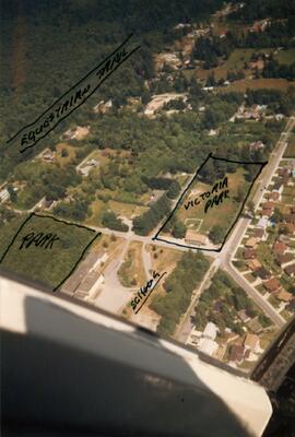
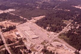
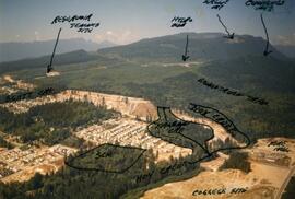
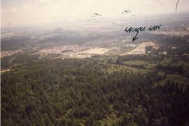
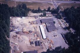
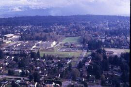
The item consists of an aerial photograph of the view towards Poirier Street Complex.
The item consists of an aerial photograph of the works yard.
The item consists of an aerial photograph of the Town Centre Firehall.
The item consists of an aerial photograph of Town Centre Park.
The item consists of an aerial photograph of the trainyard in Port Coquitlam.
The item consists of an aerial photograph of Tyndal Park.
The item consists of an aerial photograph of Upper Coquitlam.
The item consists of an aerial photograph of Upper Coquitlam River Park.
The item consists of an aerial photograph of Victoria Park.
The item consists of an aerial photograph of Westwood Mall.
The item consists of an aerial photograph of Westwood Plateau.
The item consists of an aerial photograph of the Westwood Plateau tree cover.
The item consists of an aerial photograph of the works yard.
The item consists of an aerial photograph of Coquitlam.
The item consists of an aerial photograph of Coquitlam Centre.
The item consists of an aerial photograph of Mundy Park.
The series consists of aerial photographs taken by the Department of Lands, Forests, and Water Resources in 1963 and 1969.
British Columbia. Dept. of Lands, Forests, and Water ResourcesThe file consists of aerial photographs of the Coquitlam area organized by flight path.
Lockwood Survey Corporation Ltd.The file consists of aerial photographs of the Coquitlam area organized by flight path.
Pacific Survey CorporationThe file consists of aerial photographs of the Coquitlam area organized by flight path.
District of Coquitlam. Planning Department