- CA CCOQ C4-S01-SS3-F01-MH.2005.28.1d
- Item
- 1948
6881 results with digital objects Show results with digital objects
Part of Coquitlam 100 Years collection
Part of Coquitlam 100 Years collection
Part of Coquitlam 100 Years collection
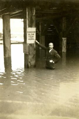
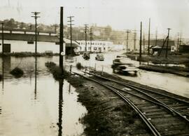
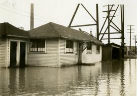
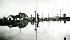
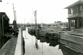
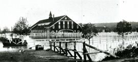
Flood at Essondale (Riverview) Hospital
Part of Coquitlam 100 Years collection
Part of Coquitlam 100 Years collection
Part of Coquitlam 100 Years collection

Part of Coquitlam 100 Years collection
Part of Coquitlam 100 Years collection

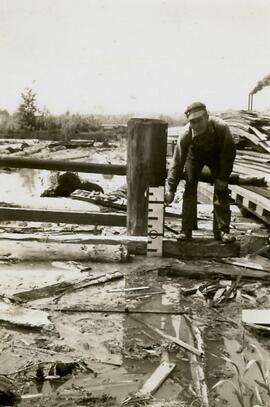
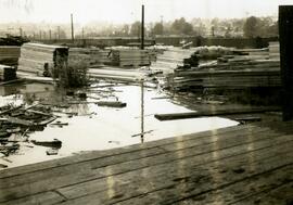
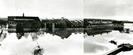
Flood area at Colony Farm, 1948
Part of Enterprise Newspaper fonds
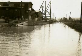
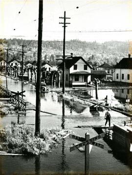
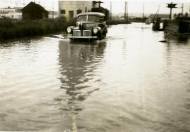
The item consists of a photograph of a flood.
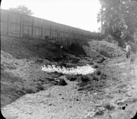
Flock of geese with farmer in background
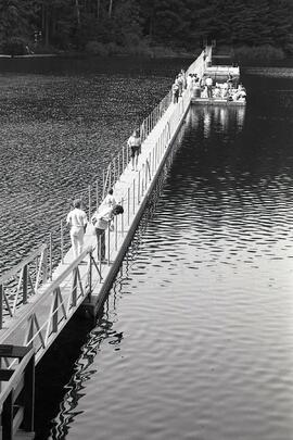
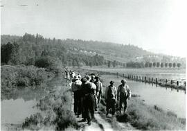
Floating walkway at Sasamat Lake
Part of The Tri-City News fonds
The item consists of a photograph of people enjoying a floating walkway on Sasamat Lake.

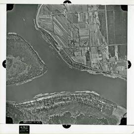
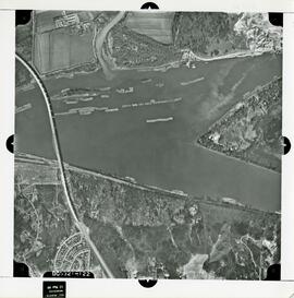
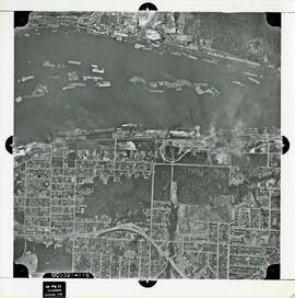
Part of City of Coquitlam fonds
The map shows the various flight paths for the aerial photographs. The numbers on the map correspond to the numbers of the photographs.
British Columbia. Dept. of Lands, Forests, and Water Resources

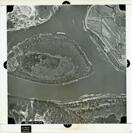
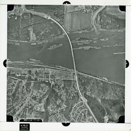
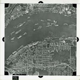
Part of City of Coquitlam fonds
The map shows the various flight paths for the aerial photographs. The numbers on the map correspond to the numbers of the photographs.
British Columbia. Dept. of Lands, Forests, and Water Resources
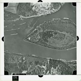
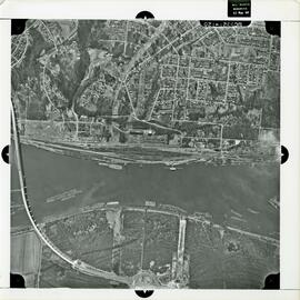
Part of City of Coquitlam fonds
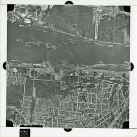
Part of City of Coquitlam fonds
Part of City of Coquitlam fonds
Part of City of Coquitlam fonds
Part of City of Coquitlam fonds
Part of City of Coquitlam fonds
Part of City of Coquitlam fonds
Part of City of Coquitlam fonds
Part of City of Coquitlam fonds